
Owatonna Neighbors Block Sources
Start an Owatonna neighbors search with the address and work outward by parcel, not by a broad people list. The municipal map shows the nearby physical pattern. Assessment and recorded-land sources supply different ownership clues. An Owatonna voter match has a much narrower, controlled use. Owatonna historical directories can add a dated street sequence. These local sources overlap, but they do not prove the same thing.
| Source | What it shows about a block | Access |
|---|---|---|
| Owatonna MapServer | Owatonna parcels, building footprints, easements, subdivisions, and municipal context | Public query, identify, and export service |
| Owatonna Assessor parcel record | Owatonna situs, assessed owner display, legal description, and property details | Consent-gated web search; county contact fallback |
| Owatonna Recorder index | Owatonna recorded grantor, grantee, instrument date, and legal-description trail | Owatonna Tapestry, Laredo, counter, or a written request |
| Owatonna voter tool | An Owatonna individual registration confirmation at a specific known address | Owatonna name, date of birth, address, and statutory limits required |
| Owatonna OPL and SCHS directories | Owatonna historical listed households and street sequence | Owatonna library or historical-research access; dated evidence only |
An Owatonna owner display is not proof of a present occupant, and an Owatonna parcel line is not proof that two households are connected. Keep the Owatonna situs address, assessed owner, mailing address if a record shows one, deed parties and date, and directory entry in separate notes. That separation is the most useful Owatonna safeguard when mapping the block around an address.
Owatonna Neighbor Map Layers
Owatonna's ArcGIS MapServer names the layers that make a close block inspection possible: Municipal_Boundary, Sub-Divisions, Parcels, BuildingFootprints, Highway Business Sign District, Easement Outline, Easement, National Wetland Inventory, Flood Hazard Zones, Airport Zoning, Zoning Districts, and DevelopmentFeeAreas. The city service does not confirm owner names in its public layers, so Owatonna owner context belongs with the Assessor or Recorder instead.
The public Owatonna MapServer layer list gives the Owatonna map vocabulary needed to document which feature was viewed, rather than treating a general Owatonna map label as a title or occupancy conclusion.
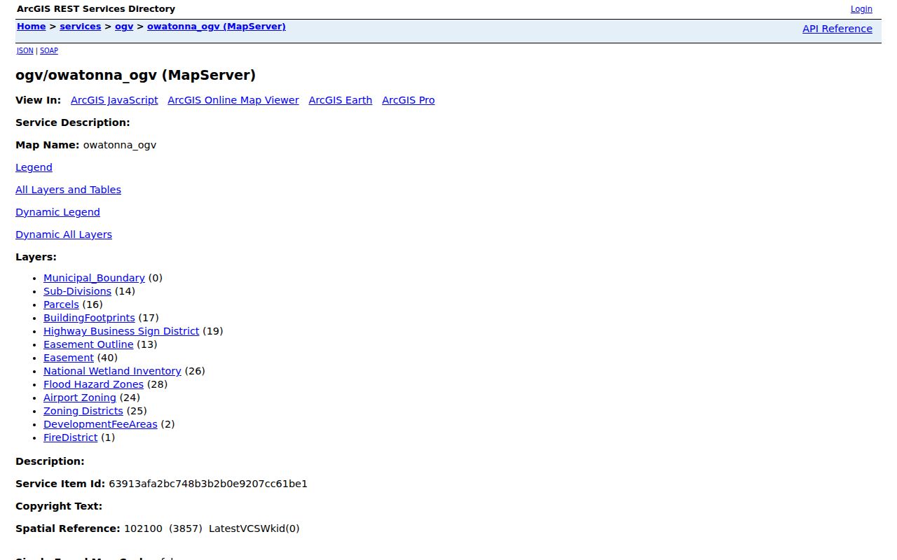
Owatonna parcel, building, easement, and subdivision layers establish physical context. Owatonna flood, zoning, airport, and development-fee layers provide planning context only. The Owatonna municipal map is a reference service, not a legal survey, a private-boundary agreement, or proof of who is at an address.
Owatonna Neighbor Evidence Grid
For each Owatonna parcel around the Owatonna address, use the same evidence columns. This avoids blending an Owatonna tax display, a delivery contact, and a recorded land transaction into one claim. An Owatonna block grid is a research index for the searcher, not a public list of all occupants.
| Evidence | Source | What to capture | What it does not establish |
|---|---|---|---|
| Owatonna situs | Owatonna Assessor or GIS | Owatonna street address, parcel ID, and map date | Title, delivery contact, or occupancy |
| Owatonna owner display | Owatonna Assessor | Owatonna assessed owner and legal description, if shown | Current residence or complete title history |
| Owatonna mailing address | Owatonna property record when displayed | Owatonna mailing field and record date | Physical location or household membership |
| Owatonna deed evidence | Owatonna Recorder index or instrument | Owatonna grantor, grantee, recording date, document number, and legal description | Present occupancy or an unrecorded boundary agreement |
For Owatonna tax parcels and rural addressing, Steele County GIS maintains the county layer while the Owatonna city and county maps can use different vintages. Record any Owatonna difference rather than trying to correct one map with the other. An Owatonna discrepancy is a follow-up for GIS, not evidence that someone has moved.
Owatonna Voter Limits
A block is not a voter list. The Minnesota voter tool requires a first name, last name, birth month, day and year, and a specific address entered through ZIP or county mode. House number and street are required, and a unit number is required if the unit control is selected. It is designed for individual confirmation and is updated nightly, not for finding everyone near an address.
Minn. Stat. §201.091 controls voter-list inspection and use. The public list has limits, and the law restricts unrelated use and the publication of a searchable online list. A name may also be withheld with a qualifying safety or family statement. Do not transform parcel adjacency into a list of who votes or lives on the block.
Note: A voter mismatch can reflect address formatting, a recent change, processing time, or protected status rather than a move.
Map an Owatonna Neighbor Block
The municipal service is the first map for immediate Owatonna neighbors. Work at a small scale around the subject parcel, then inspect nearby parcel polygons, building footprints, shared easement lines, subdivisions, and the municipal boundary. The service supports query, identify, and export, with a 2,000-record maximum. A small parcel envelope is more reliable than a citywide export and leaves a clear record of which layer and map date were used.
- Locate the subject address in the city or county GIS, then record the parcel identifier, situs, map date, and visible layer name.
- Inspect the surrounding Parcels and BuildingFootprints layers. Mark shared edges or nearby structures as physical adjacency only.
- Compare Easement, Easement Outline, and Sub-Divisions with the Assessor's legal description and the Recorder's recorded instrument where needed.
- Use the Assessor display for owner context and the Recorder for recorded parties. Keep those fields distinct from any evidence of occupancy.
For a whole named street rather than the immediate block, use the Owatonna street directory records path. It follows the broader address chain without turning adjacent parcels into a roster.
Owatonna Neighbor Directory Gap
No official Owatonna neighborhood-association directory, block roster, membership list, or verified geographic association map was located. City materials refer to neighborhood associations in Adopt-a-Rain-Garden participation and Night to Unite neighborhood parties, but those references do not establish an umbrella directory or a list of households. The gap matters because it prevents a map or program mention from being presented as a current neighborhood census.
| Public lead | Appropriate use | Known limit |
|---|---|---|
| Owatonna city staff | Ask for the public contact or participation channel for a city program. | No official association index or membership list was verified. |
| Chamber or civic-group contact | Use only as a public organizational lead for a local activity. | It is not a source for a resident or block roster. |
| City program references | Confirm that a participation context exists, such as Adopt-a-Rain-Garden or Night to Unite. | Program references do not define association boundaries or members. |
For current block context, return to the parcel, map, and recorded-land sources. For a historical question, use a dated directory or local historical collection and preserve the exact volume, page, newspaper title, or collection citation.
Owatonna Neighbor Source Comparison
Official records and commercial neighbor tools serve different purposes. Official sources identify the custodian, jurisdiction, date, record type, and access rule. Commercial tools can combine stale or mismatched data without showing the same provenance. For a specific Owatonna address, the official trail is slower but makes it possible to distinguish map context, recorded title, and dated historical evidence.
| Question | Official record route | Commercial neighbor-tool category |
|---|---|---|
| What parcel touches this address? | City or county GIS, with layer and map date | May simplify or omit parcel and map-source detail |
| Who is named on a land record? | Assessor display plus Recorder index or instrument | May mix old, partial, or mismatched identity data |
| What did a street show in the past? | OPL, SCHS, obituary, census, or newspaper evidence with a date | May not identify the underlying volume or time period |
Use the category comparison as a reason to check the custodian, not as a reason to compile more personal data. A name linked to a parcel still needs a record date and an evidence label.
Owatonna Neighbors Through Time
Historic directories offer the most useful route for a past block. Owatonna Public Library lists city and county directories from 1892 to the present collection span, plus newspapers from 1868 to the present on microfilm. Read the subject street and nearby entries in one volume, then repeat the exercise in the next available volume. Capture the printed address, name, occupation or business marker, and neighboring sequence as dated evidence.
Missing directory years are gaps, not empty blocks. SCHS family histories, Polk directories, obituary connections, newspapers, census, and naturalization sources can bridge a missing volume. Historical context must remain historical. A directory entry or obituary can show a person at a place and time, but it does not confirm a present Owatonna neighbor.
Owatonna Neighbor Boundary Context
Some addresses need a jurisdiction check before any neighbor comparison. A city boundary, a township description, a rural route, and a postal address can point to different records. The Municipal_Boundary layer, county GIS, legal description, and annexation material should be compared before assigning an address to Owatonna city geography. The 2021 city boundary map is a reference crosswalk, not a recorded survey.
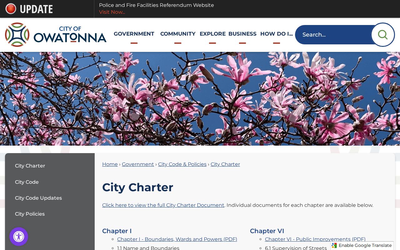
Owatonna's City Charter page provides the municipal boundary context used for this check. The research also documents annexation examples, including the 2002 Ordinance 1296 area and docket A-4634 from Owatonna Township, so older street language may need a parcel or legal-description bridge.
When a parcel lies outside the city boundary but uses an Owatonna postal address, label it county or township geography. Use delivery information only for address format, then rely on the boundary layer, county context, and recorded documents for the jurisdiction question.
Owatonna Neighbor Privacy Limits
Minnesota public-data access depends on the record and its classification. The Minnesota Government Data Practices Act does not require a custodian to create a new block list or calculate a new relationship from several sources. Ask for existing, segregable public data with a date range, address, parcel, or report reference. Treat a denial as a classification question for the custodian, not as a reason to infer what may be protected.
Safe at Home participants use a substitute mailing address and their location must not be triangulated. Voter names may be withheld with a qualifying safety or family statement. Protected court material, victim data, juvenile information, and restricted vital information are also outside an appropriate neighbor search. An absence can be a privacy limit, not an invitation to search around it.
Lawful use. Use Owatonna neighbor records for personal, lawful community context, property curiosity, or family history. Never use them to stalk, harass, intimidate, or expose a protected person.